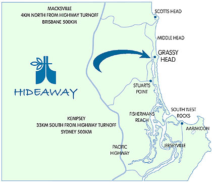
1. Stuarts Point, which is a small village located on the mid north coast of New South Wales.

2. 1970's - one of the first large-scale beach vegetation schemes in New South Wales was conducted on the sand dunes at Stuarts Point.
3. The local community is needed to help stabilise the sand dune system along with other councils and organisations in the surrounding area and by doing this the local community would help the fishing and tourism industries in the area.
4. The sand dune area at Stuarts point is important because it ensures that the fishing and tourism industries aren't affected and it also ensures that the sea doesn't breach the wall in severe storms like it has done a few times in the past, resulting in the destruction of property and other precious vegetation.
5. The main species of vegetation on the beachfront consists of grasses and creepers. the secondary species includes shrubs and short lived trees, highly adapted prolific re-seeders and fast growing plants. the tertiary species at the back of the beachfront includes long lived trees.
6. Having vegetation growing in and around the sand dunes, it traps the sand so it doesn't blow away and therefore cause problems with the over all development of the dunes. If there is a strong wind and there is no vegetation on the beachfront all the sand from the dunes will be taken from them, reducing them to a smaller size.
7. Cattle grazing had a dramatic effect on the dune system as the cattle devoured the vegetation present on the dunes, this in tum allowed the wind to blow away the sand and heavy storms to overpower the weak wall of sand.
8. Cattle grazing would have primarily destroyed all living vegetation in the sand dune. this would have allowed things like erosion to happen as the sand is now able to be lifted and blown away. as the sand wall now becomes increasingly fragile the heavy seas also slam against the wall of sand.
9. The groups involved in the rehabilitation program included the Department of Lands, the Department of Public Works, The Macleay Shire Council, and the Soil Conservation Service of New South Wales
10. The first step in the rehabilitation program was the use of machinary which would allow the people to form a small foredune. on top of this a dune-forming a fence was constructed to help trap the wind blown sand to help establish a foredune. the next stage involved the planting of trees along the riverbank to stabilise the western margin of the area. and finally, after the planting of the trees was completed, native seedlings were planted into the area between the fordune and the riverbank.
12. the geographical processes that would have caused the macleay river entrance to silt up in 1900 are refraction as the waves would need to bend around the mouth of the river. this would have caused the waves to clash and in turn would create a small underwater sand island over a period of time.
13. a) the stabilising of the sand dunes was extremely successful as the large foredune on the beachfront is now 3-4 metres high and is negligible.
b) the protection of the macleay river system is successful in some ways and not in others. the problem of silting and an unstable sand dune have been conquered but the revegetation project has now introduced a noxious weed known as biteau bush which runs the entire length of the foredune.
c) many groups in the local community have benefited from the revegetation project undertaken at Stuart's point. the community itself is now able to lead their usual lifestyles without worrying about the fishing and tourism industries as much as before. also the knowledge that this management strategy works is beneficial for every group that took a part in the revegetation project. this management strategy is now being used across New South Wales for the benefit of the environment and the surrounding ecosystem.
No comments:
Post a Comment